

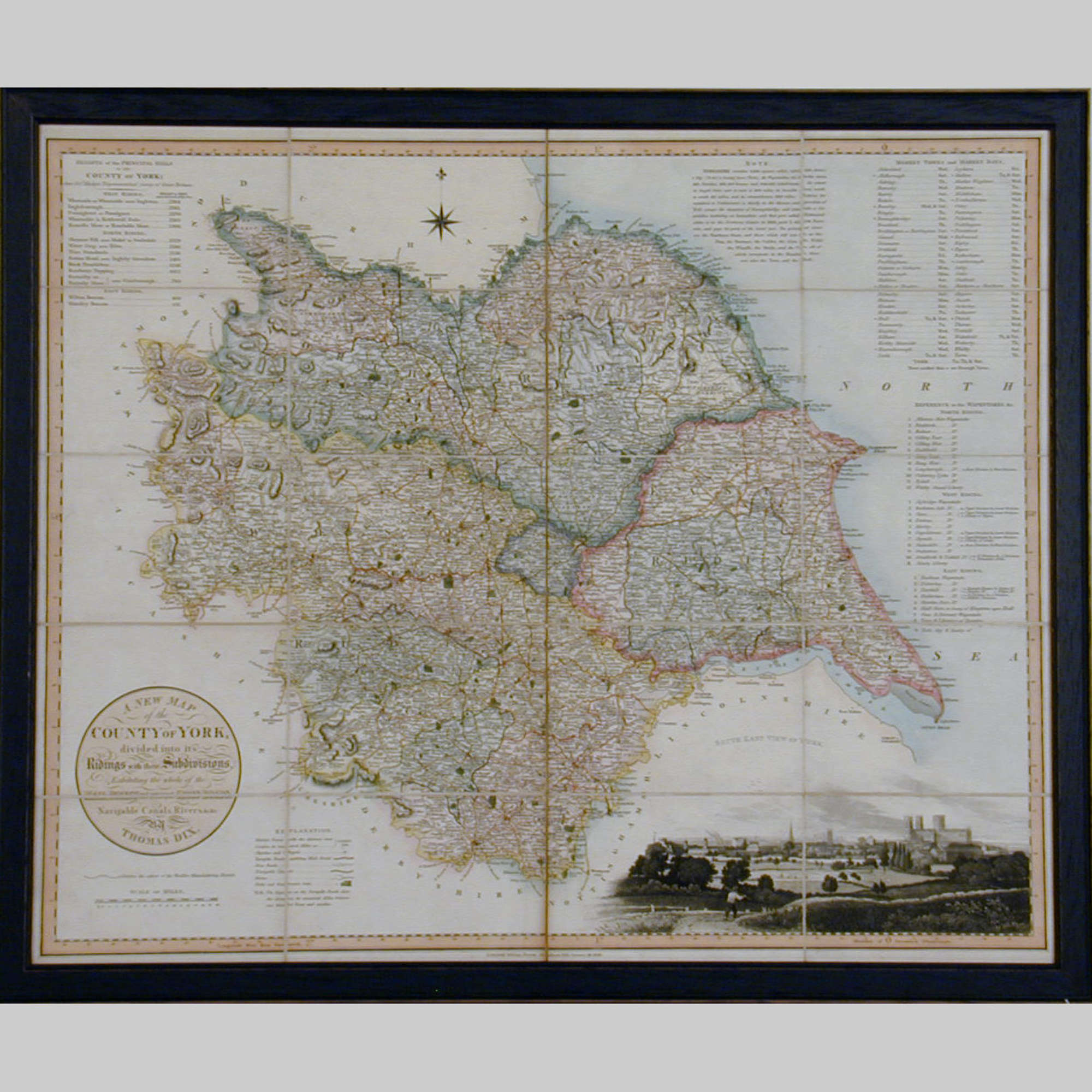

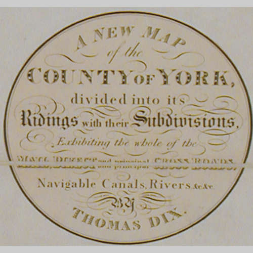
19th century map of the County of York
$620 (approx conversion from £495)
Delivery Quote Request
Please fill in the form below to request a delivery quote from Baggott Church Street Ltd.
Contact Baggott Church Street Ltd
 Gloucestershire, United Kingdom
Simply fill in the below form to get in touch with Baggott Church Street Ltd regarding this item.
About this item
19th century map of the County of York. Surveyed by Thomas Dix, North Walsham. Published by William Darton, Holborn, London January 1820. Depicts Ridings and their Subdivisions, Navigable Canals and Rivers, etc. Folding Edition on linen with original carrying case. Now in a moulded, ebonised frame.
Additional Information
Code
9322 (AB-44114)
Dimensions
W: 30.8" (78.2 cm)H: 25.5" (64.8 cm)
Period
19th Century
Dealer
Baggott Church Street Ltd
![]() Gloucestershire, United Kingdom
Gloucestershire, United Kingdom


