


17th Century Map of Eastern England
SOLD
Although this item has been sold, we have a range of similar items that may be of interest to you.
View similar items
Delivery Quote Request
Please fill in the form below to request a delivery quote from Spotted Tiger.
Contact Spotted Tiger
 Not Applicable/Other, United Kingdom
Simply fill in the below form to get in touch with Spotted Tiger regarding this item.
About this item
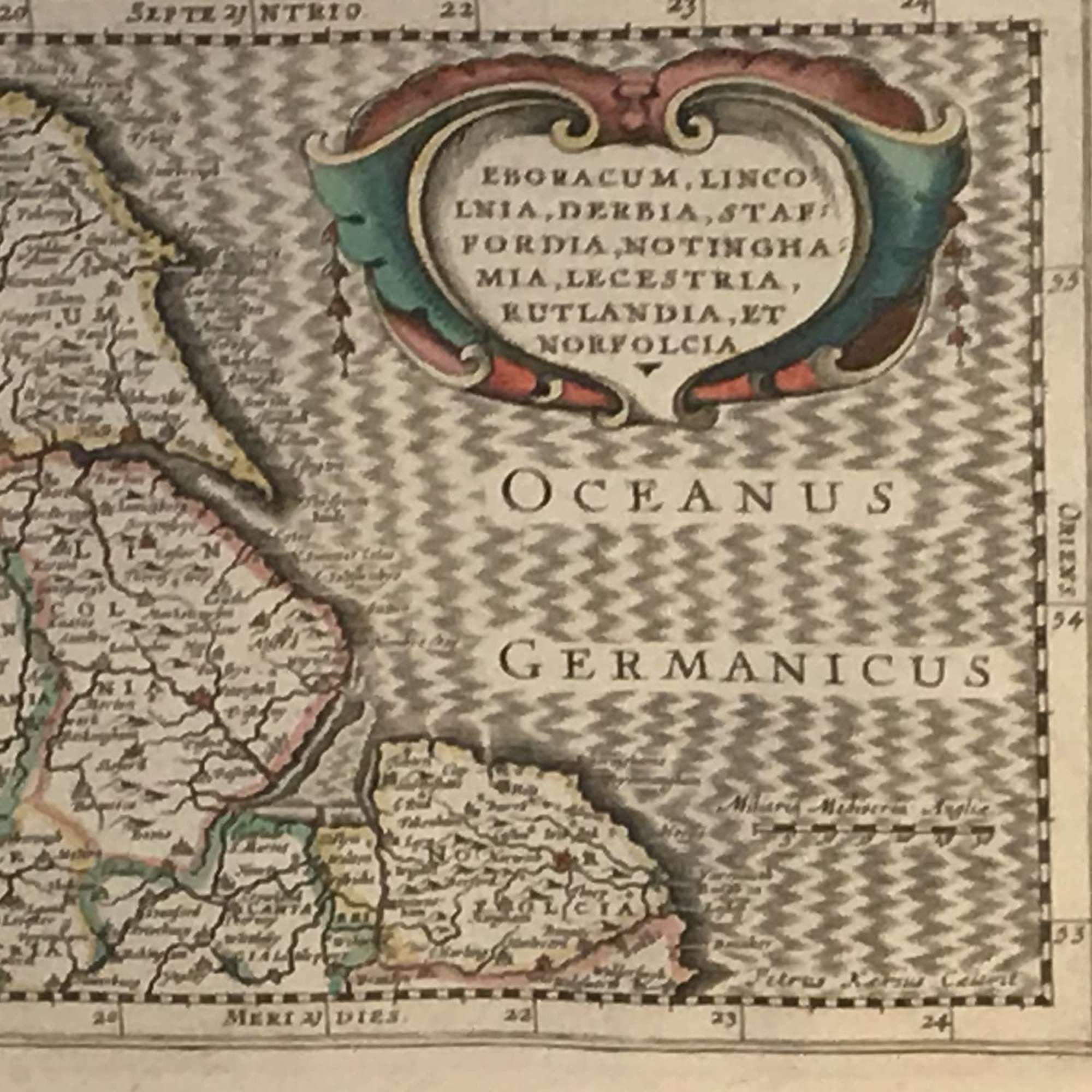
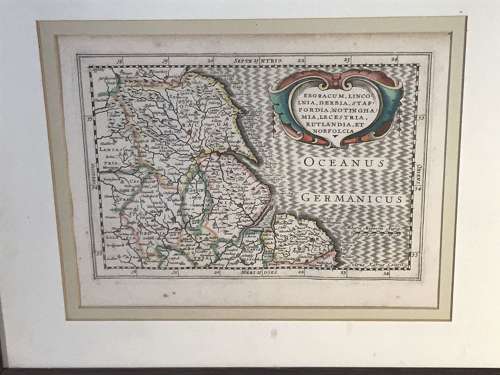
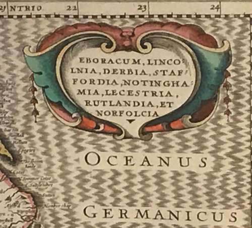
A map of the Eastern side of England including the counties of Yorshire, Lincolnshire, Rutland, Leicestershire, Nottinghamshire, Staffordshire and Norfolk.
Published in 1673 by Dutchman Janssonius Van Waesberge it was almost certainly part of an Atlas.
Nicely hand coloured, double mounted and in a good oak frame.
Dimensions include frame.
Additional Information
10137 (AB-21558)
W: 48cm (18.9")H: 40cm (15.7")
17th Century
![]() Not Applicable/Other, United Kingdom
Not Applicable/Other, United Kingdom
, A map of \"Surrey\"")


 - \"Plan of Sheffield, 1822\"")


